LiDAR Mapping Techniques Directing Paths in Isolated Technology Development Contests
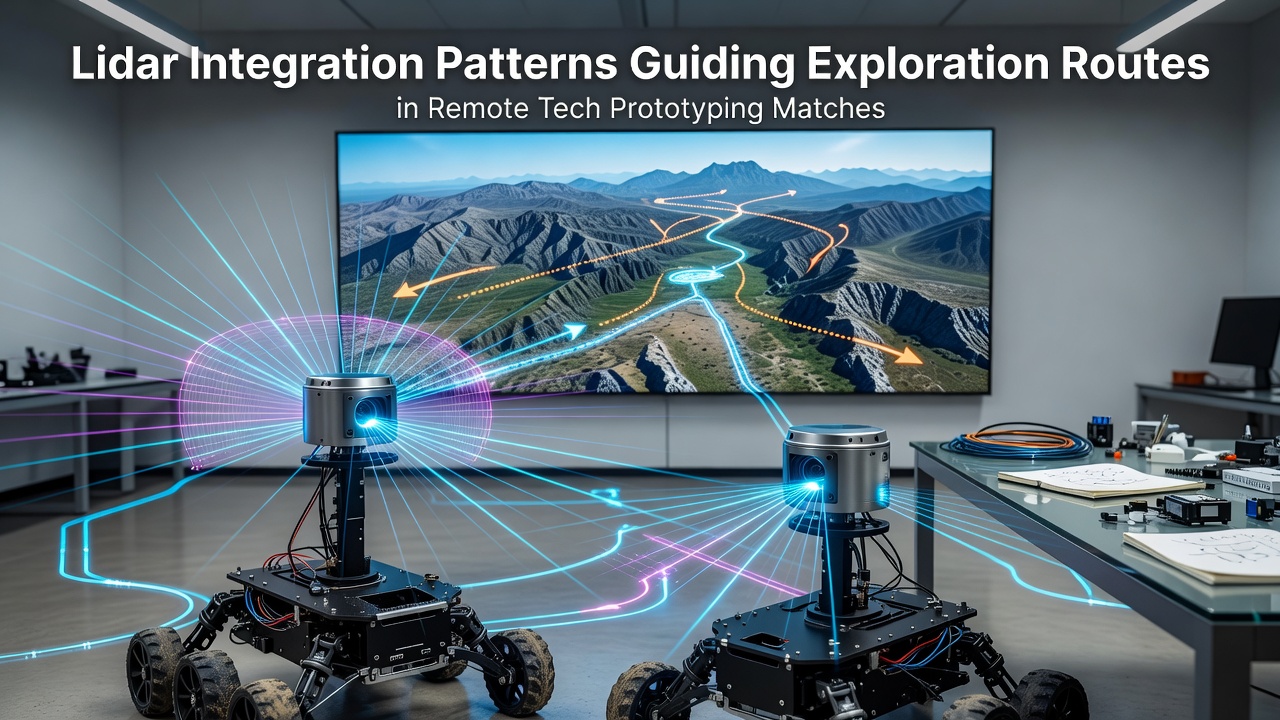
LiDAR systems emit laser pulses and measure return times to generate precise three-dimensional point clouds, and these datasets feed directly into route-planning algorithms used in remote tech prototyping matches. Teams deploy mobile platforms equipped with multi-beam sensors that capture terrain data at rates exceeding one million points per second, allowing real-time updates to navigation maps while competitors traverse unmarked areas. According to research from the United States Geological Survey, point-cloud density directly correlates with route accuracy in unstructured environments, and events scheduled for July 2026 will test updated sensor fusion protocols across multiple desert test sites.
Sensor Fusion and Route Optimization
Integration patterns combine LiDAR returns with inertial measurement units and GPS corrections to reduce drift errors that accumulate during extended exploration legs, while software layers apply voxel filtering and ground segmentation before feeding cleaned data into pathfinding models. Observers note that teams using adaptive resolution grids achieve faster traversal times because the system dynamically increases point density near obstacles and reduces it across open flats. Data from a 2025 European Space Agency technical report shows that such selective sampling cuts processing latency by up to 40 percent without sacrificing collision avoidance margins.
Patterns Observed in Competition Settings
During matches, competitors log scan patterns that reveal preferred exploration strategies, and analysts compare these logs against final route completion times. One recurring pattern involves circular sweep motions at ridge lines that maximize vertical coverage before descent, whereas linear raster scans dominate flat expanses. Researchers at the University of Alberta documented similar behaviors in field trials conducted through 2025, finding that teams employing hybrid sweep patterns reduced route deviation by an average of 18 percent compared with uniform scanning approaches.
Hardware Configurations in July 2026 Events
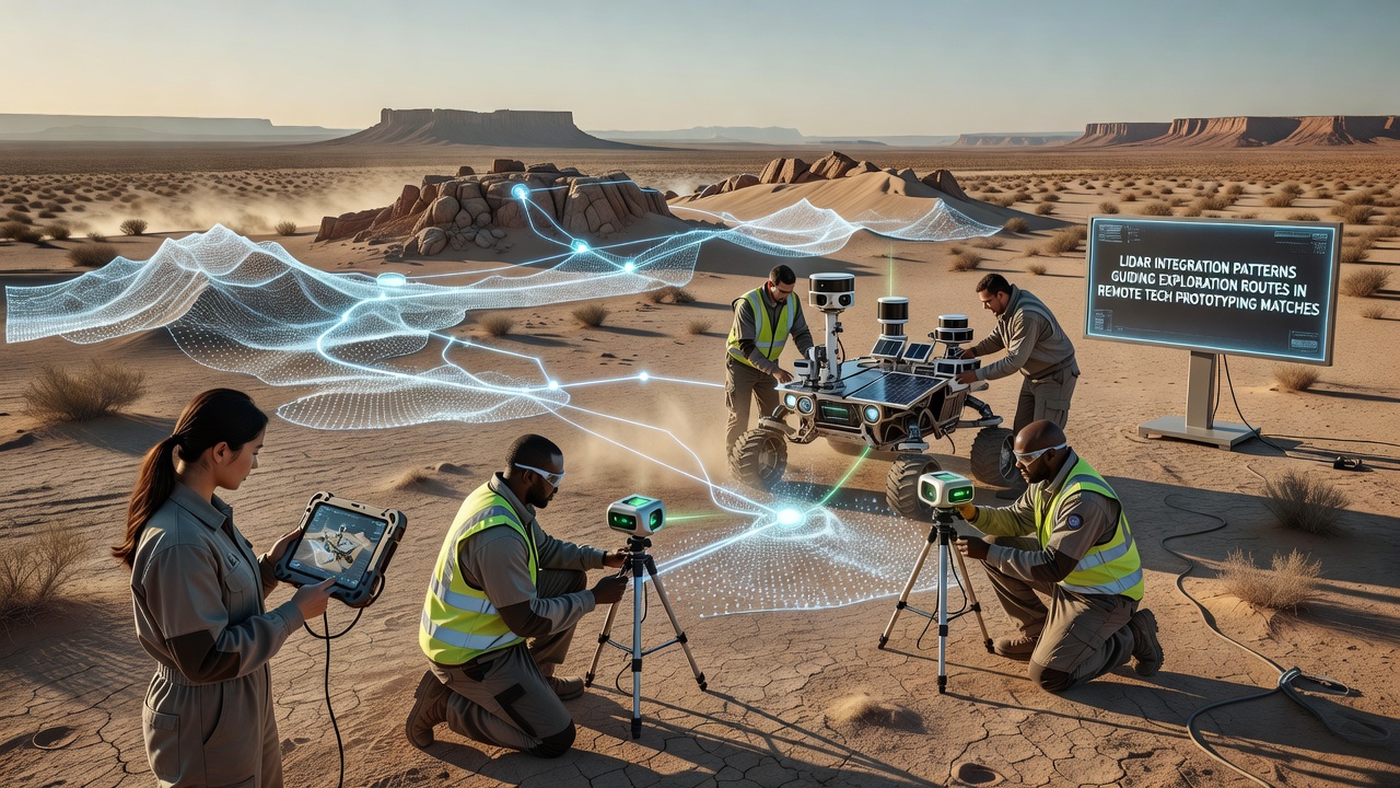
Event organizers for the July 2026 series have specified minimum LiDAR specifications including 905-nanometer wavelength lasers and 120-degree horizontal fields of view, requirements that push manufacturers toward compact solid-state units. Power budgets remain tight because platforms operate on battery packs rated for eight-hour cycles, and thermal management becomes critical when ambient temperatures exceed 45 degrees Celsius. Industry data compiled by the IEEE Geoscience and Remote Sensing Society indicates that active cooling loops add measurable weight yet extend continuous operation windows by roughly two hours under desert conditions.
Data Transmission and Edge Processing
Raw point clouds exceed wireless bandwidth limits in remote zones, so onboard edge processors perform compression and feature extraction before transmitting only salient objects and elevation deltas. Compression ratios commonly reach 30:1 using octree structures, and packet loss recovery protocols ensure map consistency across team members separated by several kilometers. Studies conducted by the Australian Centre for Field Robotics demonstrate that edge-processed maps retain sufficient fidelity for route replanning even when 15 percent of packets are dropped during dust storms.
Case Examples from Prior Seasons
Take one team that entered the 2025 season with a dual-LiDAR rig mounted on a tracked chassis; their logs showed repeated use of overlapping forward and rear-facing scans that allowed backward route correction after dead-end encounters. Another group relied on single forward-facing units and compensated with frequent waypoint revisits, resulting in longer cumulative distances. Figures released by the Canadian Robotics Association after post-event analysis placed the dual-sensor configuration ahead by an average of 11 minutes on identical course lengths.
Conclusion
LiDAR integration patterns continue to evolve as remote tech prototyping matches incorporate stricter timing rules and larger course footprints for the July 2026 cycle. Hardware refinements, edge-processing efficiencies, and documented team strategies together shape how exploration routes are selected and executed. Continued collection of scan logs from upcoming events will supply additional datasets for refining both sensor placement and algorithmic weighting across varied terrain types.